 Tee18
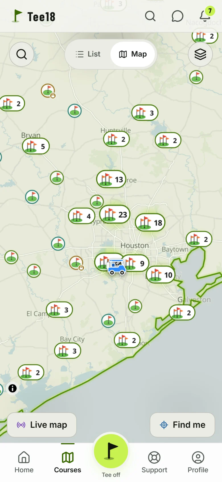
Every course in Texas, on one map.
706 golf courses, from the big metros to small-town nines, public and private, par-3s included. Every one is a flag on the map, and every one has its own page in the app.
Send us the scorecard and the layout.
Golfers, clubs and golf companies: send us a photo of the course's scorecard and its course layout, both if you have them. No account needed. A person looks at every one and fixes the course in the app: missing holes, wrong pars, a new card.
What every course has.
Tap a flag on the map for its card, then open the course for its page.
A flag on the map
Search any course by name, or zoom around your city. Filter by public or private and by price, and turn on practice places: driving ranges, simulators and mini golf.
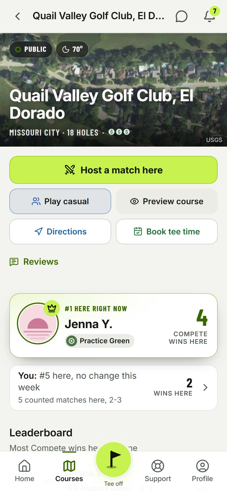
Its card
Tap a flag: who is #1 there, the best casual round, where you rank, how many of your friends have played it, the price, directions and a link to book a tee time.
Its own page
The aerial photo and today's weather, Host a match here, Play casual, Preview course, the full board, course records, the tees, what Tee18 players say about it, and the open matches there.
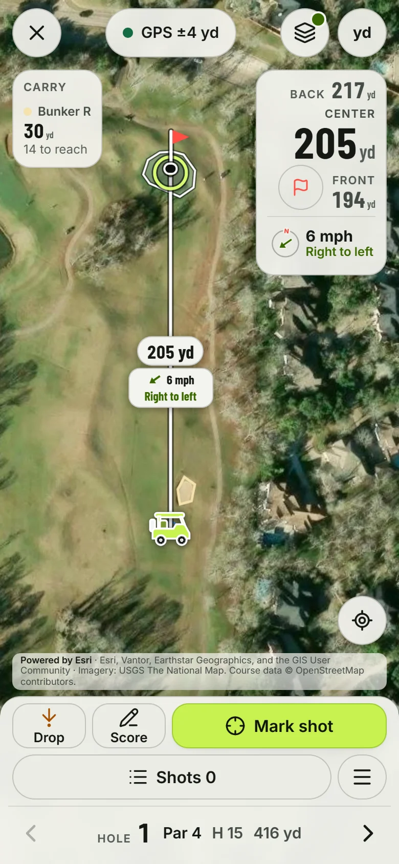
GPS on the holes
Most courses have every hole mapped: front, center and back of the green, the carries over bunkers and water, and the slopes on the greens where the lidar covers them.
Tee times
Book tee time opens the course's own booking page, GolfNow first where the course is on it. Private and military courses never get a booking link.
Your people there
See which friends have played a course and how they did, and play casual there with them, or Compete with anyone who posts a match.
Checked one course at a time.
Every course on the map was checked by hand: that it is open, where it is, public or private, its website and its booking link.
- The shapes of the holes come from OpenStreetMap, and where a course is missing there, we trace its holes by hand on the USGS aerial photos.
- Pars, handicaps and yards come from each course's scorecard.
- The green slopes come from USGS lidar, the same 1 meter height data surveyors use.
- When a course changes its holes or its card, a photo of the new one is how we fix it. That is where you come in.

Find your course.
It's free.
Open the map in your browser, or get the iPhone app.